|
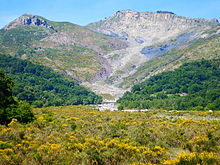
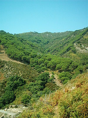
Peloritani      The Peloritani (Sicilian: Piluritani, Italian: Monti Peloritani) are a mountain range of north-eastern Sicily, in southern Italy, extending for some 65 km (40 mi) from Capo Peloro to the Nebrodi Mountains. On the north and east they are bordered by the Tyrrhenian and Ionian Seas respectively, and on the south by the Alcantara River . The highest peaks are the Montagna Grande (1,374 m, 4,508 ft), the Rocca di Novara (1,340 m, 4,400 ft), the Pizzo di Vernà (1,287 m, 4,222 ft), the Monte Poverello (1,279 m, 4,196 ft) and the Monte Scuderi (1,253 m, 4,111 ft). The range is made up of a long series of peaks, with an average height of 800–1,000 m (2,600–3,300 ft), intermingled with ridges and ravines. The deep gorges house numerous streams that create the typical rivers of this land called fiumare, often full of deprises in their inferior flow. The most common rocks are of igneous and metamorphic origin. Sandstone soils are also present. Of unusual origin are the megaliths rocks of the Argimusco plateau. Vegetation includes holm oak, oak, cork oak, beech, pine and chestnut, which once formed large forests but are now, mostly due to human presence, reduced to sparse woods so that the landscape is largely steppe-like. Several pine woods have been reconstituted by the local authorities since the 1950s. An ancient path, Dorsale dei Peloritani, runs along the ridge line from Monte Dinnammare above the Strait of Messina to the Rocca di Novara. References38°03′N 15°20′E / 38.050°N 15.333°E
|